Day 1 Task: La Baulmes - La Breguettaz. Start as usual at the landing spot in Baulmes with first turn-point the Suchet. I arrived in a decent time and headed to La Croix for a take off in direction Vallorbe. Cloud base was low and weather prediction did not preview great flying windows thus I decided to omit the turn-points around the Mont d'Or. At the take off it was very busy with many people preparing their paraglider. I rushed on and did not check well my lines... And shit happens, so after take off (back to the wing) I saw I nice knot that I could not release and had to land just in front of me. Hike, hike, hike... to turn-points: Cerny, Antenne Première, Dent de Vaulion. At the Dent de Vaulion a short window for flying opened and I took the opportunity to take off, however after short time I hit a rain front. Accelerated and with minimal brake action I headed in direction Le Cret Blanc. Landed safely on the road direction Les Croisettes, packed my stuff and hiked to the Le Cret Blanc and back to the goal La Breguettaz.
Hiking day total ascent: 2113 m (960+903+250), distance: 32.3 km (6.2+ 20.1+6.0)
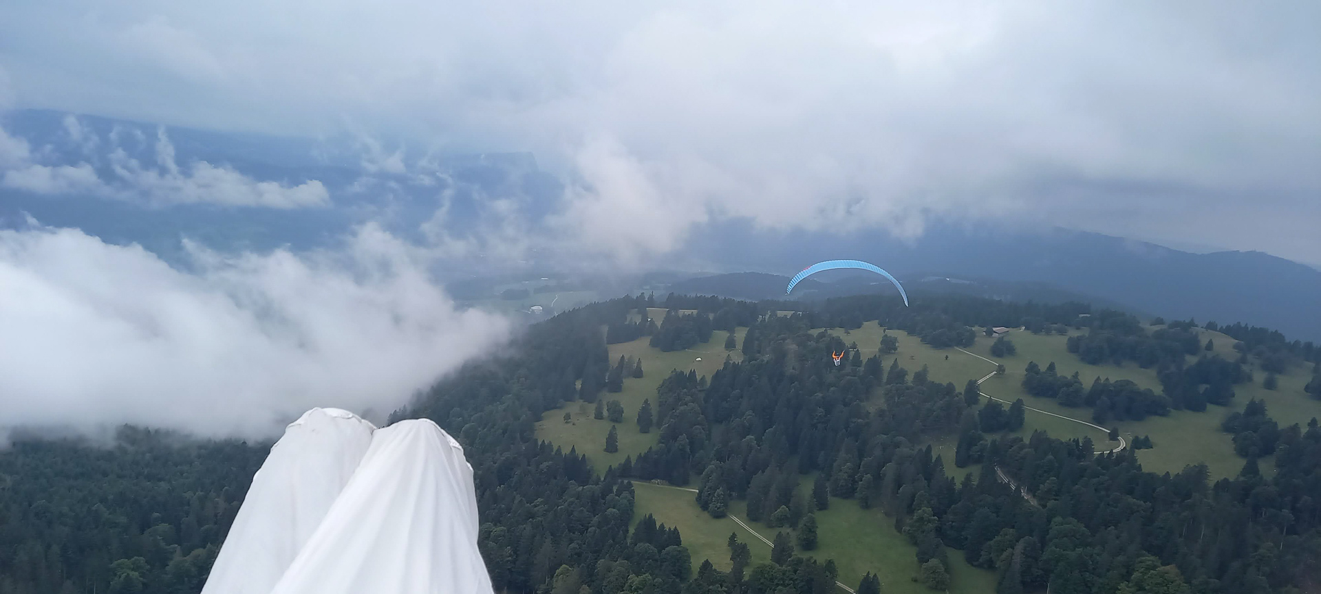
Day 2 Task: Col Saint-Cergue - La Breguettaz. Moderate north-west wind has been announced, thus all athletes have been transported by bus to the Col de Saint-Cergue. I hiked my pace that places me in the in the middle of the pack. At the first turn point the Le Noirmont I could take off and glide in direction of le Brassus. Landed close to Bois d'Armont (F) and hiked from their on to Le Brassus (village for a selfie at Audemars Piguet and up to the turn point), hesitated to take off, but finally went on on my feet to the Orient. Their I could take off with so many others. However, conditions have been difficult, many could not make it our, but I managed to take a thermal and could really make a lot of height. Motivated I flew to the Piece of Ferdinand and when my instrument told me that I am in the circle I turned in direction of the Mont Tendre. However I could not make anymore the height that I gained before so I decided to head towards the Le Cret Blanc landing in somewhere before LA Croissette. Hiked up to the Cret Blanc and took off to reach la Breguettaz. But what a mess, I had again a very little knot, that I did not see at take off. Not ideal flight I just managed to get out of the tree area... walking back the last km to the goal. At the goal when downloading the result, the next frustration - my instrument had a wrong validation cylinder entered - so I was not in and it was not validated (by 50 m....).
Hiking day total ascent: 979 m (340+430+162+147), distance: 24.5 km (4.1+14.9+2.6+2.9)
Day 3 Task: La Breguettaz - Baulmes. Good conditions for the afternoon have been announced. And indeed after the morning hike to Chalet Devant with a short glide to Premier and another long hike to La Matoulaz (Suchet) we faced nice flying conditions. I took of at La Matoulaz headed to Bullet that I reached with an additional short walk. From their I validated Mauborget and flew back full speed to the goal in Baulmes.
Hiking day total ascent: 989 m (244+625+120), distance: 17.7 km (5.2+10.6+1.9)
Overall ascent: 4081m, distance: 74.7 km - Final ranking 16th
Lessons learned: check better your wings upper lines at take off and learn to use your flight instrument (who knows what ranking I would have reached...+100 pts -> 9th ...)
Photos du JHF21 sur Google Photos


A video from Ruru: